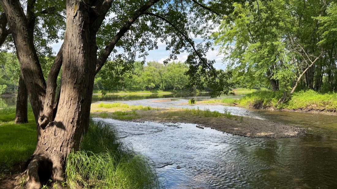
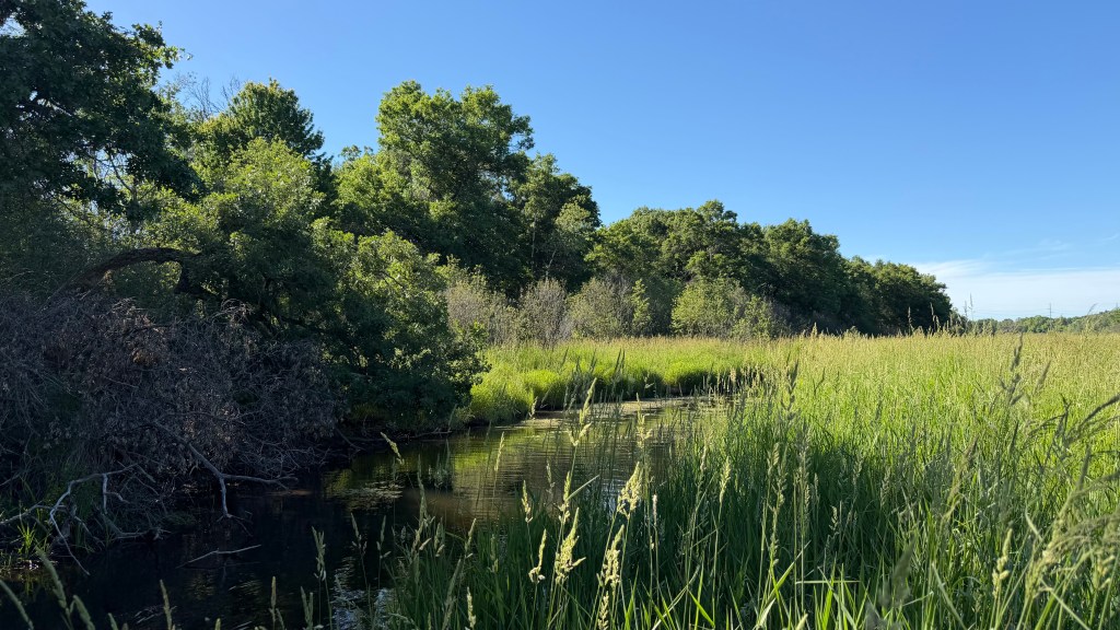
It was a warm summer’s day when the dog and I parked our car on the edge of a deserted road in Wyoming, MN, inflated a stand-up paddleboard, and tromped off into the reed canary grass in search of the Sunrise River. We found a shallow and winding river, full of plants and buzzing with dragonflies. Red-winged blackbirds sang calls on repeat, and every few minutes a different set of animals burst out of the grass to scare the bejeezus out of us – a pair of muskrats, a trio of ducks, even once a giant buck. We encountered snags at almost every bend, and eventually gave up after traveling much, much less than a mile.
The Sunrise is a complex river system with multiple branches, tributaries, and pools, each with its own unique personality. The main branch originates near Forest Lake and flows north through Comfort Lake to the Carlos Avery Wildlife Management Area in the City of Wyoming. From there, the Sunrise continues flowing north through Chisago County, collecting water from the south, west, and north branches, until it eventually reaches the St. Croix River at Wild River State Park. During its final miles, the river is wide, rocky, cold and brown. Here, steep bluffs and forest surround the river on all sides. Rapids form when the water is high and there are freshwater mussels and even otters.
Water quality also varies considerably within the river system. In some sections, the Sunrise fully supports fish and aquatic life, while other sections are impaired by fecal coliform, E.coli, low dissolved oxygen, and other concerns. Currently, the west branch is in good health, as are segments between Comfort Lake and Pool 1 (South Sunrise Pool) and between Kost Dam and the town of Sunrise.
Searching for bugs to evaluate stream health
In rivers and streams, tiny creatures including insects, leaches, snails, and mussels are biological building blocks that help to support turtles, frogs, fish, and other animals. Macroinvertebrates include any creatures large enough to see (macro) that don’t have internal skeletons (invertebrates). Healthy streams have more aquatic insects and a higher diversity of species, which in turn, supports more species of fish.
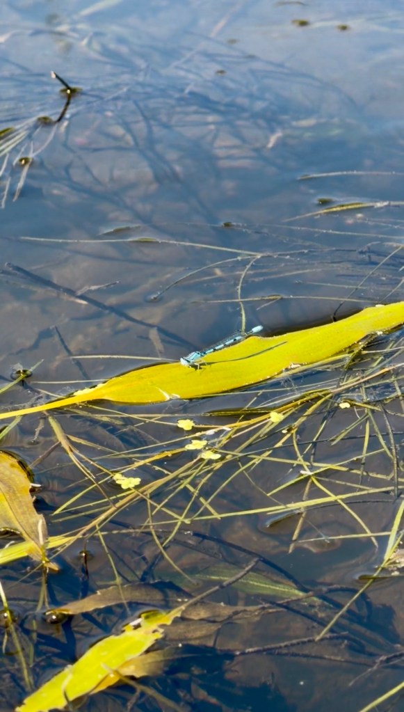
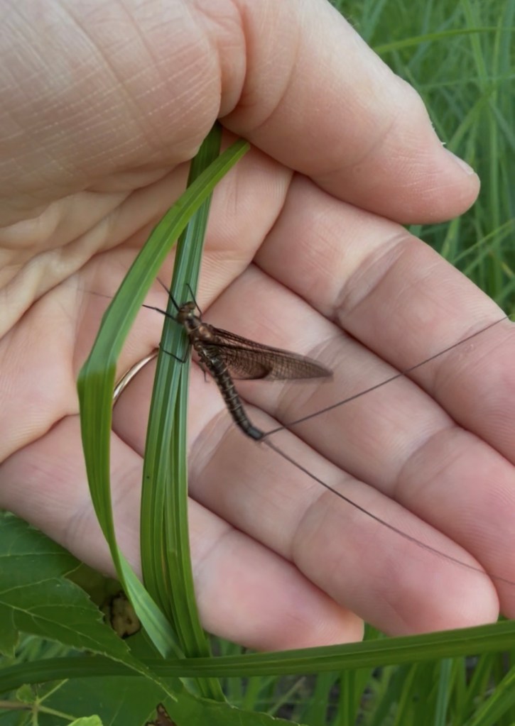

When the Minnesota Pollution Control Agency (MPCA) surveyed the Sunrise River in 2006 and 2009, they found very few macroinvertebrates. Happily, follow-up surveys in 2019 and 2020 showed that conditions had improved considerably. Biologists found a wide variety of macroinvertebrates and 27 species of fish at a single site near the town of Sunrise, including several species that highly sensitive to water pollution.
Healthier lakes lead to a healthier Sunrise River
In the Forest Lake area, the Comfort Lake – Forest Lake Watershed District (CLFLWD), Chisago and Washington Conservation Districts, and other partners have spent decades working to improve water quality in Forest, Comfort, and Little Comfort Lakes. As water quality in these lakes has improved, so too has the quality of water flowing out to the Sunrise River. The section of river between Comfort Lake and Pool 1 was on Minnesota’s impaired waters list for ten years, but was “delisted” in 2022 after stream health improved.
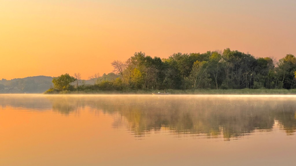
A similar trend can be seen along the west branch of the Sunrise River, which originates in Martin Lake in Anoka County. There, the Anoka Conservation District has worked with lake associations and local government partners to plant raingardens, build stormwater ponds, and manage invasive carp in Typo and Martin Lakes. As a result, the west branch has been meeting water quality standards since 2012.
Restoring wetlands also helps the Sunrise River
In the early 1900s, farmers ditched and straightened many stretches of the Sunrise River in order to dry out wetlands and plant crops. Restoring and reconnecting wetlands today can help to improve water quality and reduce downstream flooding.
In 2016, City of Forest Lake and CLFLWD completed a large-scale wetland restoration at Bixby Park that improves water quality in the Sunrise River before it flows to Comfort Lake. Later, in 2023, CLFLWD completed a wetland enhancement along Hwy 61 in southern Chisago County that also benefits the Sunrise.
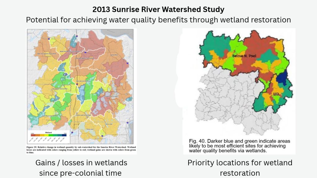
More recently in 2026, the Isanti Soil and Water Conservation District began work on a wetland restoration that will prevent 120.90 lbs/yr of phosphorus and 113.59 tons/yr of sediment from flowing into the North Branch of the Sunrise River. Models developed by the St. Croix Watershed Research Station suggest that additional wetland restoration, especially in the northwestern and northeastern regions of the Sunrise River watershed, would help to improve water quality in both the Sunrise and the St. Croix.
Explore the Sunrise River One of the best places to see the Sunrise River is within the Carlos Avery Wildlife Management Area, a 24,000 acre preserve that is popular for hunting and wildlife watching. You can find boat launches and canoe/kayak access at the South and North Sunrise Pools. Wear blaze orange if you go in the fall.
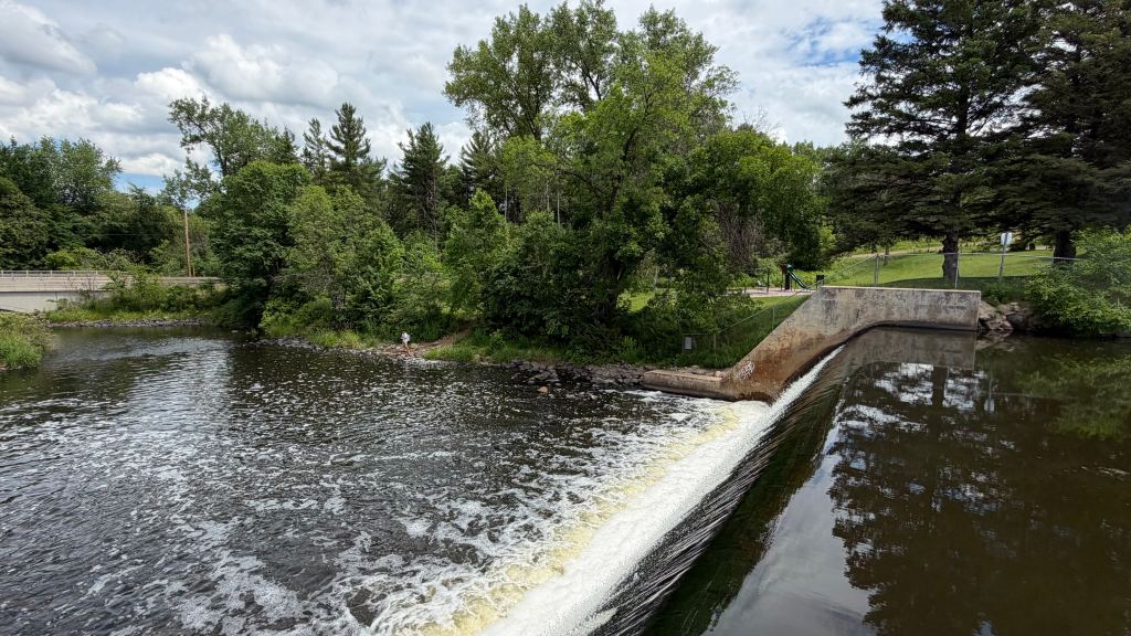
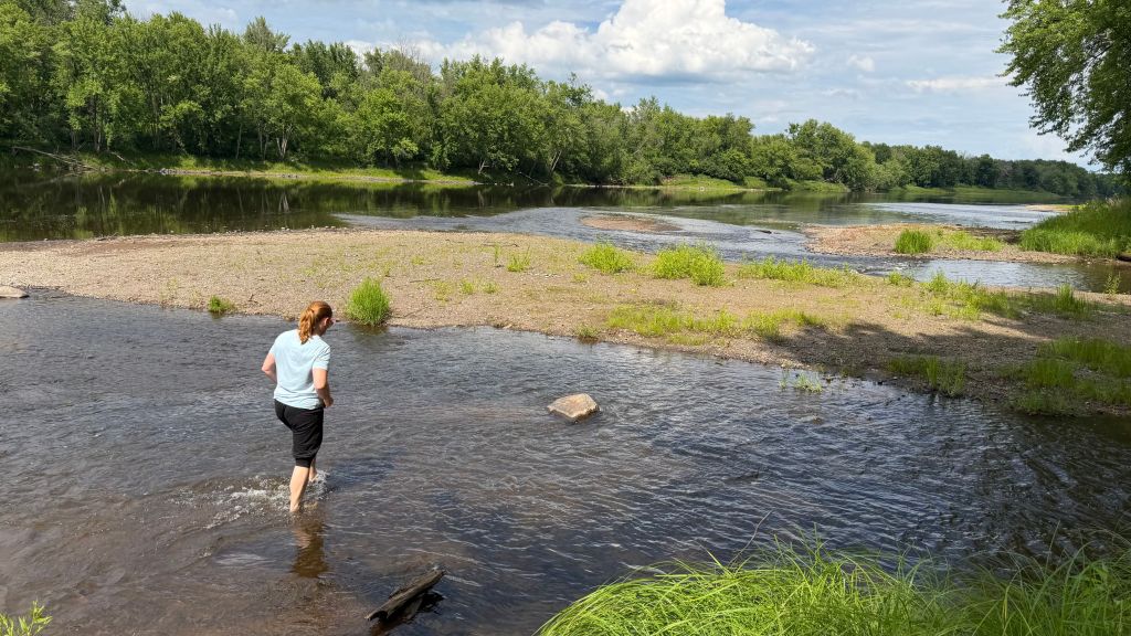
Further north in Chisago County, there is also a small county park that is popular for fishing at Kost Dam. Head to Wild River State Park to see the confluence of the Sunrise and St. Croix Rivers and walk along the beach.


